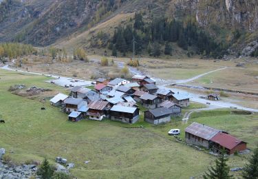
4.3 km | 23 km-effort
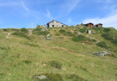
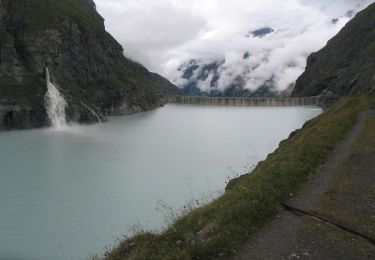
Col de la Lire Rose, Cabane de Chanrion [loop/boucle/Rundwand.]
pnoth
User
Length
24 km
Max alt
3101 m
Uphill gradient
1631 m
Km-Effort
45 km
Min alt
1889 m
Downhill gradient
1648 m
Boucle
Yes
Creation date :
2014-12-11 00:00:00.0
Updated on :
2014-12-11 00:00:00.0
--
Difficulty : Unknown
FREE GPS app for hiking
About
Trail Other activity of 24 km to be discovered at Valais/Wallis, Entremont, Val de Bagnes. This trail is proposed by pnoth.
Description
English: http://www.noth.ch/h0111_e.html
Français: http://www.noth.ch/h0111_f.html
Deutsch: http://www.noth.ch/h0111_d.html
Positioning
Country:
Switzerland
Region :
Valais/Wallis
Department/Province :
Entremont
Municipality :
Val de Bagnes
Location:
Unknown
Start:(Dec)
Start:(UTM)
372273 ; 5095304 (32T) N.
Comments
Trails nearby
Barrage de Mauvoisin - Le Pleureur
On foot
Medium
Val de Bagnes,
Valais/Wallis,
Entremont,
Switzerland
5h 11min
No
Pazagnou-Col des Otanes
On foot
Easy
Val de Bagnes,
Valais/Wallis,
Entremont,
Switzerland
4 km | 11.6 km-effort
2h 38min
No
Fionnay-Bonatchiesse
On foot
Easy
Val de Bagnes,
Valais/Wallis,
Entremont,
Switzerland
4.5 km | 6.3 km-effort
1h 26min
No
Mauvoisin Bonatchiesse
Walking
Difficult
Val de Bagnes,
Valais/Wallis,
Entremont,
Switzerland
8.7 km | 16.2 km-effort
3h 40min
Yes
Panossière-La Maye
On foot
Easy
Val de Bagnes,
Valais/Wallis,
Entremont,
Switzerland
3.8 km | 6.4 km-effort
1h 27min
No
Bonatchiesse-Mauvoisin
On foot
Easy
Val de Bagnes,
Valais/Wallis,
Entremont,
Switzerland
3.2 km | 6.1 km-effort
1h 22min
No
Tour du Val de Bagnes
On foot
Very difficult
Val de Bagnes,
Valais/Wallis,
Entremont,
Switzerland
36 km | 72 km-effort
16h 15min
No
La Maye-Brunet
On foot
Easy
Val de Bagnes,
Valais/Wallis,
Entremont,
Switzerland
3.4 km | 4.7 km-effort
1h 4min
No
pra fleuri les dix
Other activity
Very easy
Hérémence,
Valais/Wallis,
Hérens,
Switzerland
8.3 km | 18.6 km-effort
5h 36min
No